The Lost Poleis ...
A description regarding how "lost Poleis", those known about, but not where they are located, are treated in an app that is map-based.
An Inventory of Archaic and Classical Poleis catalogs 1035 poleis. What may come as a surprise is many of these ancient cities are not definitively located or are not located at all. The Inventory reports that 166 poleis are "unlocated" (~15% of the catalog). We know something of these poleis from historical writing and record keeping, but we have no definitive archeological evidence for them. Improvements in locations are constantly being made and this current dataset lists 123 of 1035 poleis as “unlocated”.
Given the inspiration of the Polis Inventory App is to plot all the poleis geographically on an explorable map, what are we to do with these "location" orphans?
One logical solution is to group them by region and pick a group location that is near to their assigned region, typically, but not always, located over water to avoid any overlap with poleis that have verified locations.
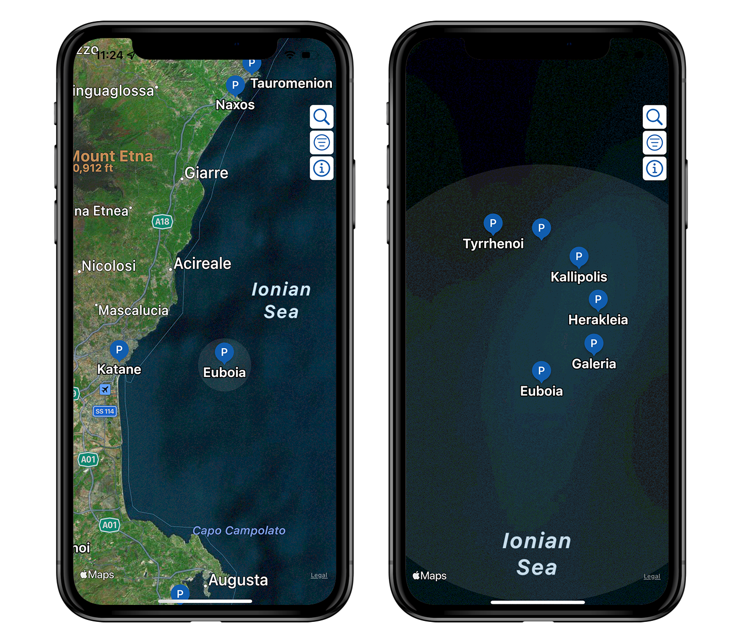
An example is given below (lower left), when you find a gray bounding circle (as opposed to blue or white circles that relates to a polis’ spatial influence) you will know that group of poleis are plotted together that have unknown locations but are situated nearby their associated region.

Zooming closer (upper right), you will observe the “lost” poleis are plotted in the shape a Fermat spiral so they do not overlap each other and to visually enhance the fact that their locations are contrived.